
UNDERGROUND LINES: NUMBER 2, 1941
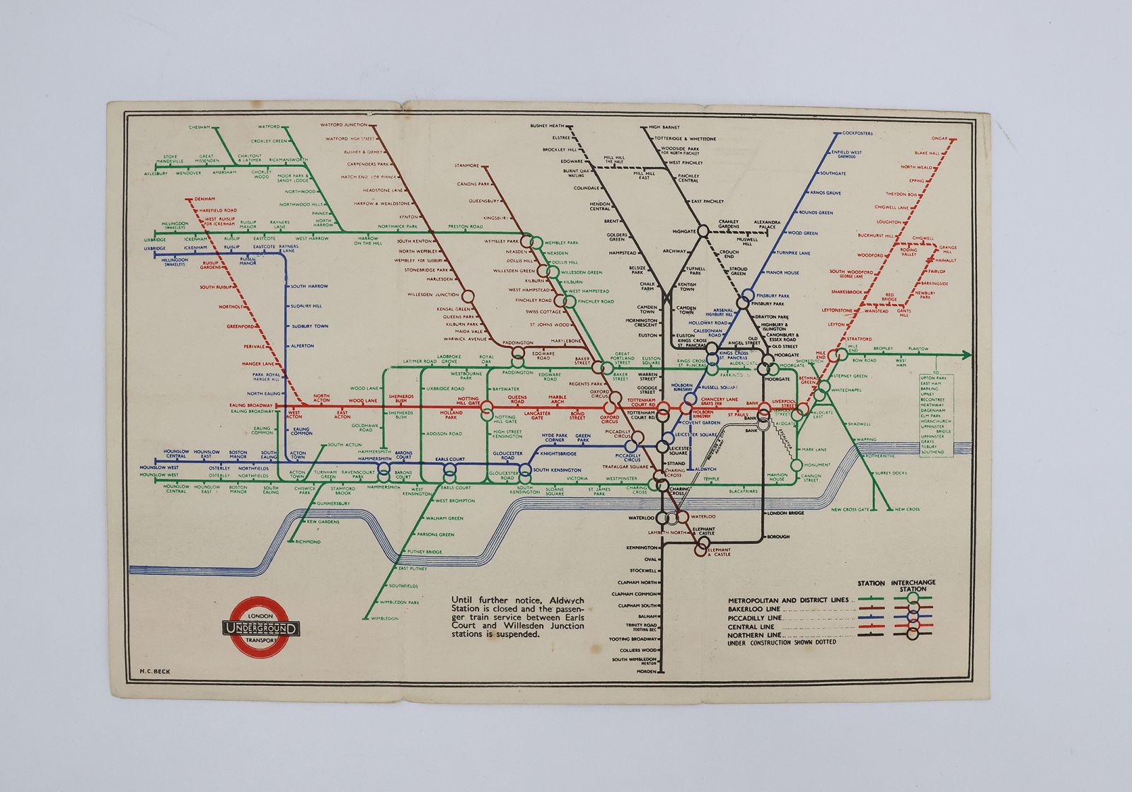
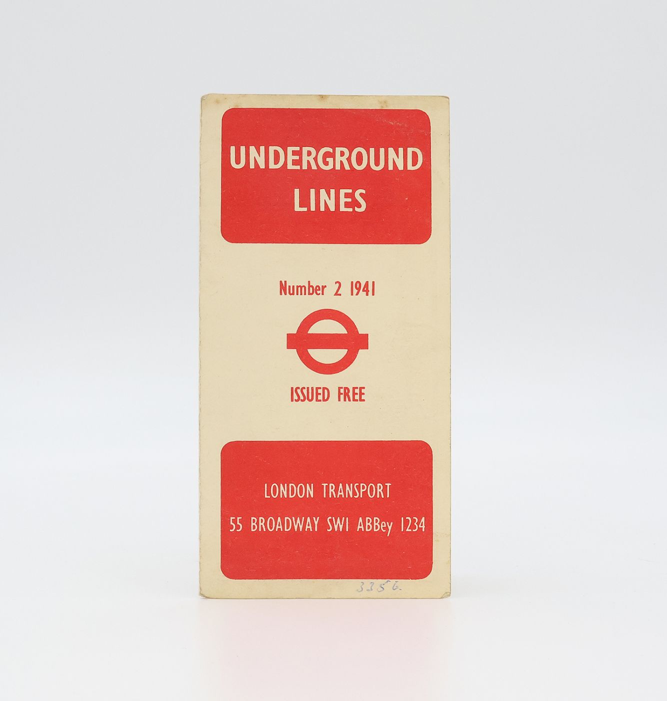
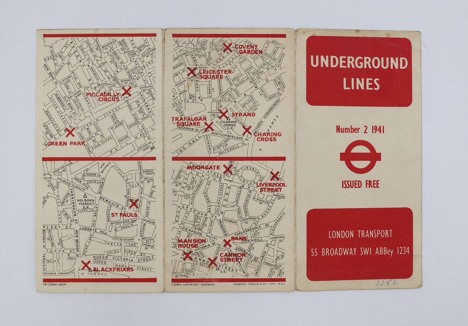
A scarce 1941 London Underground map. Folded leaflet with three panels. Measuring 157 x 230mm when opened. The Underground map is designed in colour, the other side features the leaflet's front cover and four small maps showing the locations of central tube stations printed in black and red. A very good copy, remaining bright and without tears. The extremities are gently rubbed, the ends of the flap folds have tiny nicks, there is a small numerical biro inscription at the bottom of the front panel and a few light spots.
Harry Beck was an electrical draughtsman for the London Underground who designed the first diagrammatic London Underground map, a design concept which is still used in modern versions of the map and is known around the world. Beck realised that the physical location of the stations was of no consequence to Underground passengers, who only needed to know how to get from one station to another and where to change, and so he came up with a clear and simple map inspired by electrical diagrams. "This edition of the Underground diagram designed by H C Beck shows the reintroduction of different colours for the Underground lines. Interchange stations are shown as interlocking rings and a large number of the Underground Station names are duplicated if they serve more than one Underground line. The map has been redrawn using 60 degree lines instead of 45 degree lines. The GWR and LMSR between Uxbridge Road and Willesden Junction is no longer shown. The logo of an Underground roundel with London Transport printed inside the circle, has been reintroduced on this version of the map." (London Transport Museum).
Stock code: 25928
£425
Published:
Category
Modern First EditionsManuscripts
Prints / Posters
Maps
Recent Acquisitions