
THE MAP OF TOLKIEN'S BELERIAND AND THE LANDS TO THE NORTH: West of the Mountains, East of the Sea: About the Map of Beleriand.
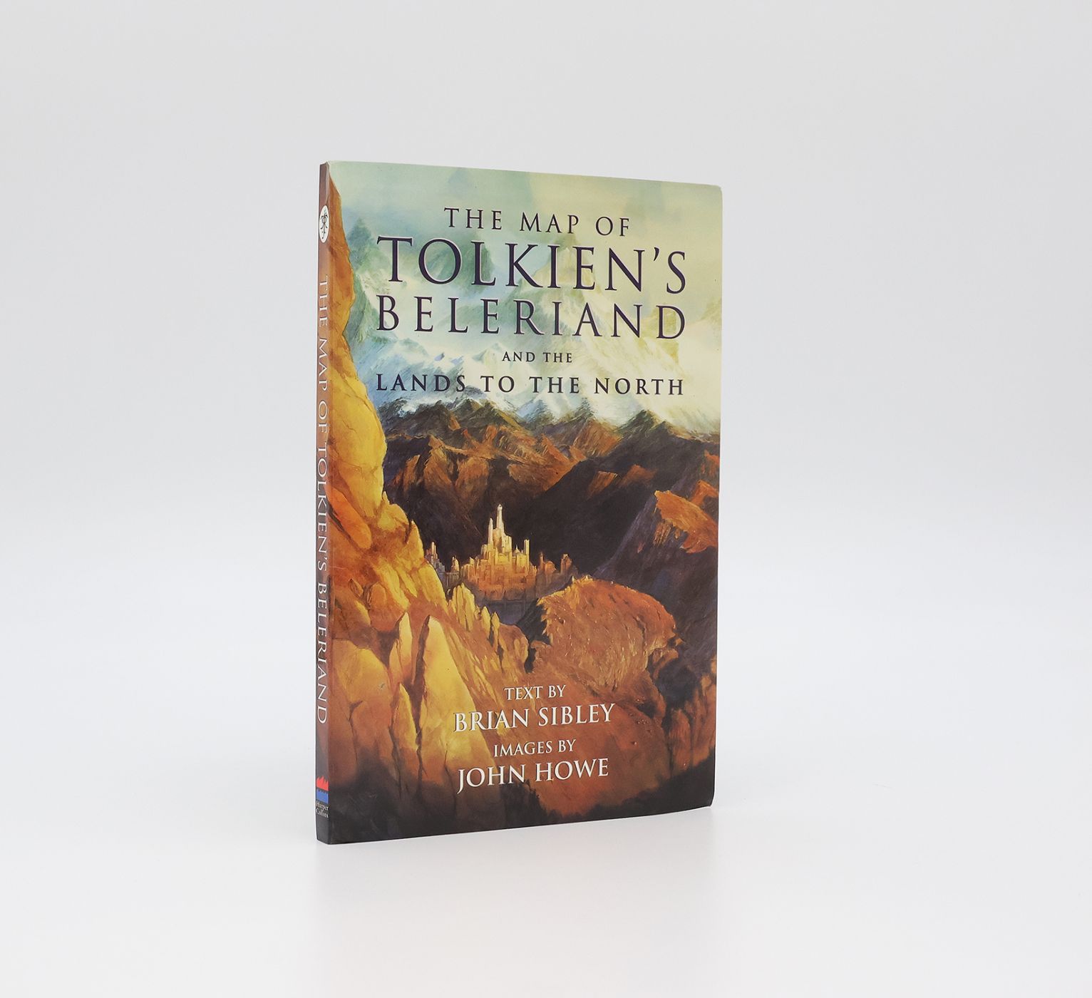
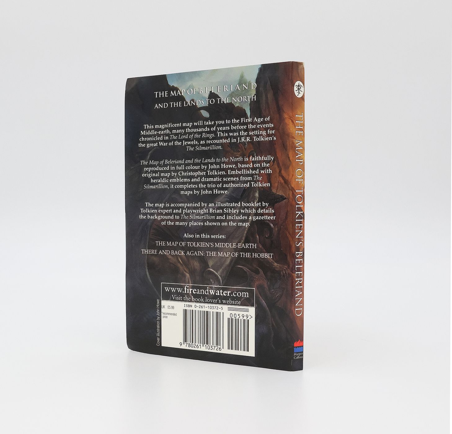
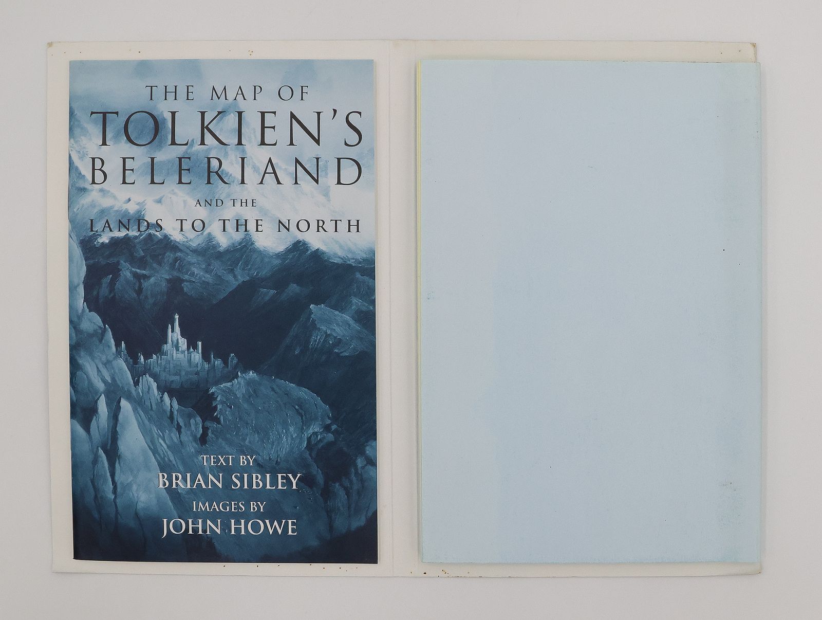
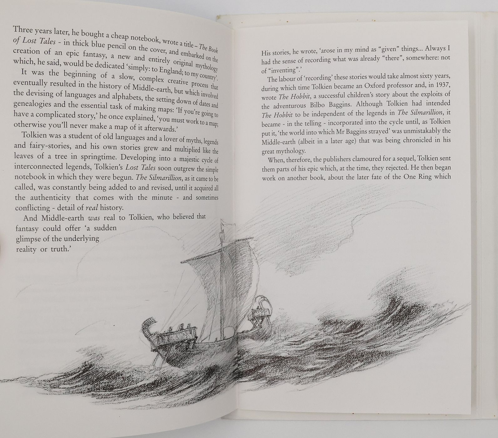
First edition, first printing. Publisher's original gloss card wraps illustrated by John Howe. 27pp. Staple bound booklet facing a large fold out map of Beleriand, glued to card covers. Illustrated throughout by John Howe with black and white intext drawings and a large colour fold out map. A near fine copy, the binding square and firm, the covers a little creased and bumped to the extremities but are otherwise free from fading, loss or tears. The contents, with a little spotting around the margins of the card covers, are bright and clean throughout and without inscriptions or stamps. The fold out map is in fine condition and without tears.
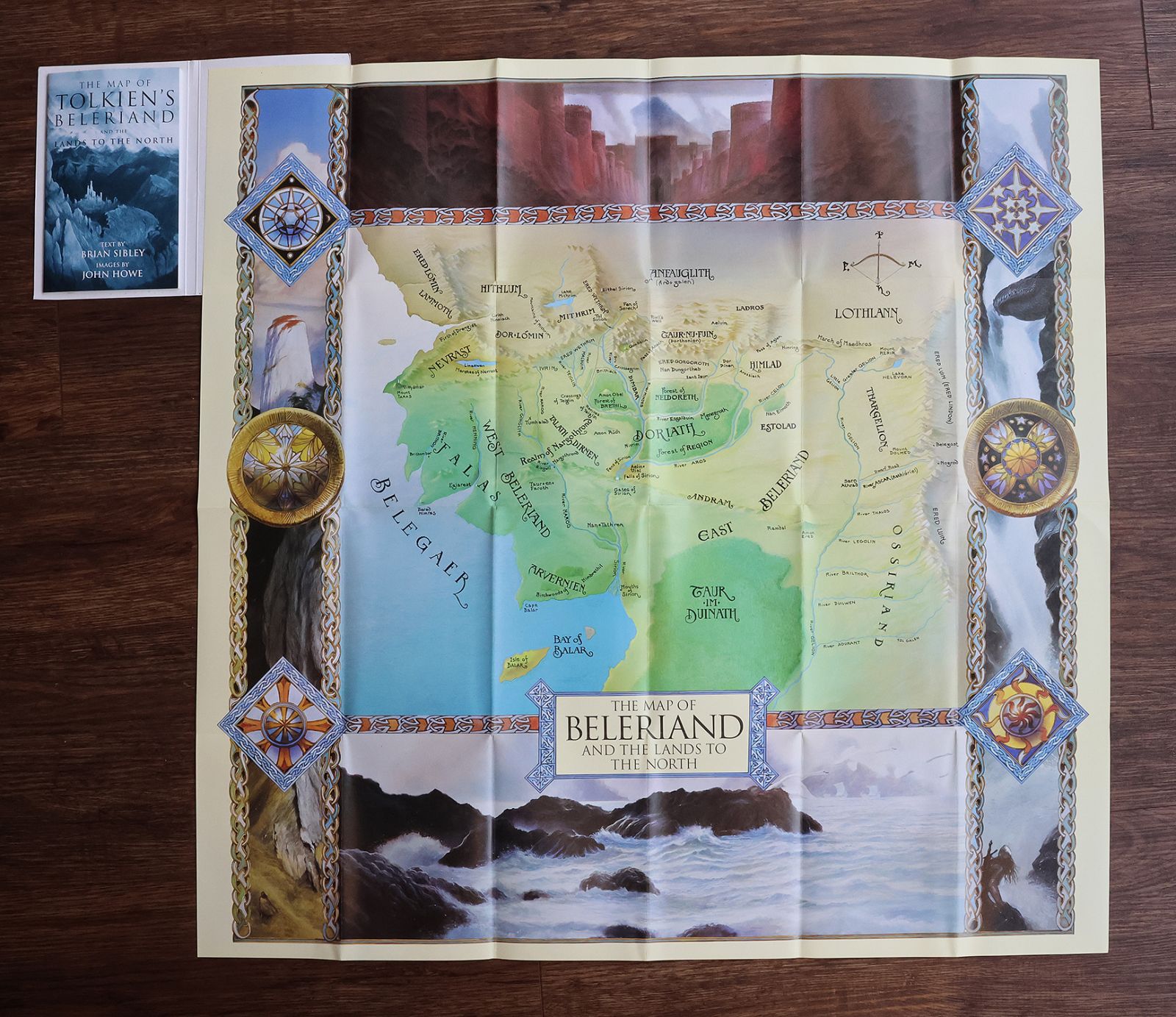
'The Map of Beleriand and the Lands to the North is faithfully reproduced in full colour by John Howe, based on the original map by Christopher Tolkien. Embellished with heraldic emblems and dramatic scenes from The Silmarillion, it completes the trio of authorized Tolkien maps by John Howe. The map is accompanied by an illustrated booklet by Tolkien expert and playwright Brian Sibley which details the background to The Silmarillion and includes a gazetteer of the many places shown on the map.' (publishers blurb)
Stock code: 25985
£55
Published:
Category
Children's / IllustratedScience Fiction / Fantasy
Modern First Editions
Gift Ideas
Maps
Art Books
Recent Acquisitions