
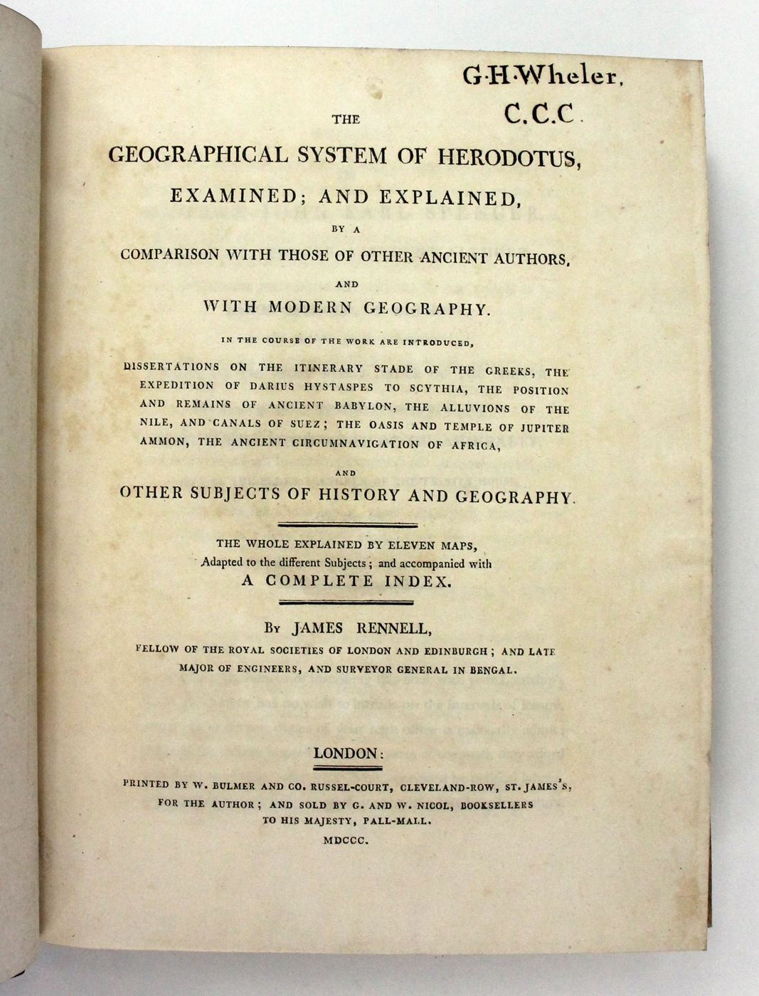
THE GEOGRAPHICAL SYSTEM OF HERODOTUS, EXAMINED; AND EXPLAINED, By a Comparison With Those of Other Ancient Authors, and With Modern Geography.

First edition. 4to. Handsomely bound in full nineteenth-century blue calf with gilt decorative borders to the upper and lower boards. The spine with four raised bands, gilt titles, and compartments richly decorated in gilt. Marbling to page edges and endpapers. Illustrated with an engraved portrait frontispiece and 11 engraved maps (all but one folding). A near-fine copy, the binding square, firm and bright with a little rubbing and scuffing to the boards and bumping to the corners. The contents with the small gilt armorial ownership label of Granville Hastings Wheler to the front pastedown, contemporary neat ink stamp for the same to the head of the title page, scattered toning and faint spotting, a crease to the corner of three text pages (one with a small marginal tear), and with one map with a few creases, a small marginal tear and standing a little proud of the text block, are otherwise unusually clean and fresh. The other maps remain in excellent condition, with just a minor crease to one, and a little creasing to the margins of two others.
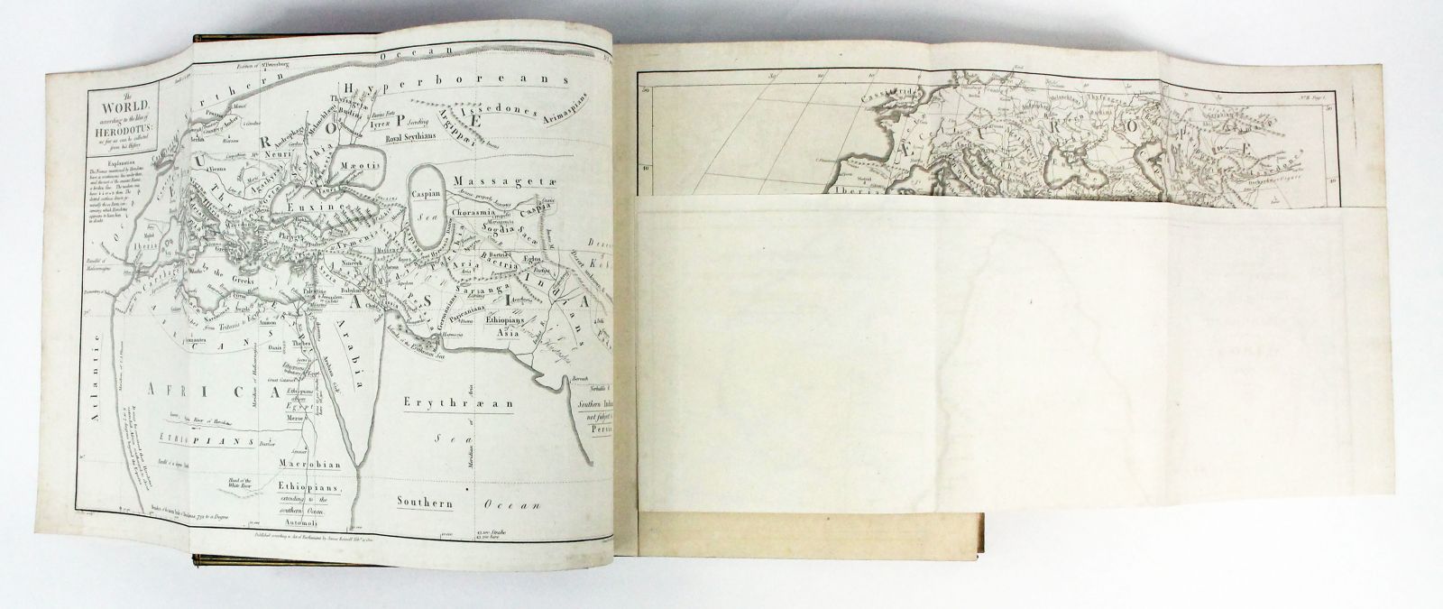
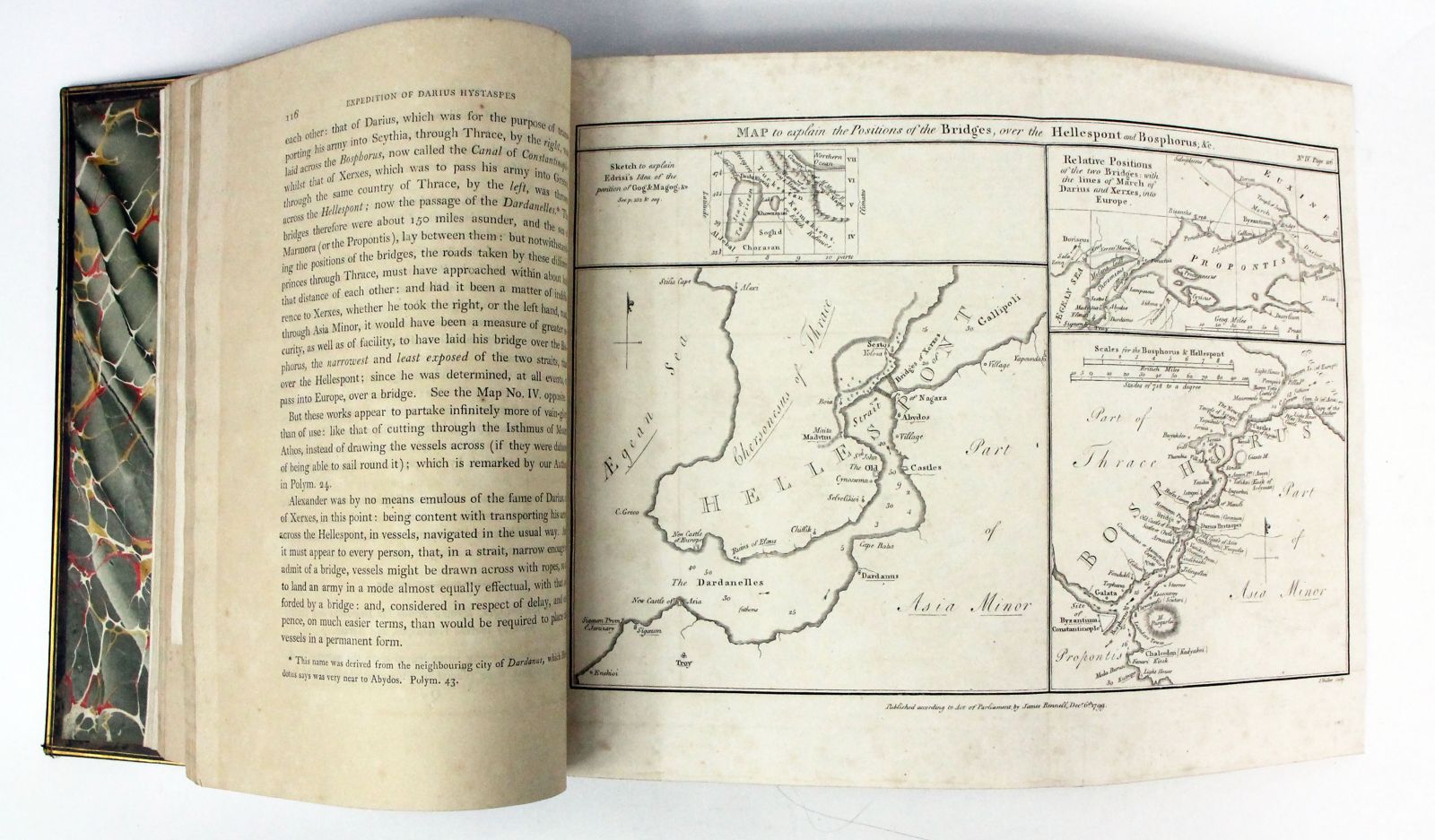
A superb copy of Rennell's important work on ancient geography - "a monument of laborious research and acute and lucid criticism" - which attempted to reconcile ancient geographical knowledge with modern discoveries (ODNB). The work is perhaps most famous for its series of attractive and finely detailed maps of the Near East, the Mediterranean and Africa by John Walker, engraver to the Admiralty. These include two maps of the world according to Herodotus, maps of Western Scythia, Hellespont, Bosporus, Babylon, Egypt, Memphis, Libya, the circumnavigation of Africa by the Egyptians under Pharaoh Necho II (610-595 BC), and the voyage of Hanno the Navigator (500 BC), a major voyage of discovery in west Africa and one of the earliest voyages to traverse the Pillars of Hercules in an attempt to extend maritime discovery beyond the Mediterranean. James Rennell (1742-1830) was one of the foremost cartographers of his generation and a key pioneer of oceanography. After spending several years conducting an ambitious and extensive mapping project for the East India Company in Bengal and other parts of the Indian subcontinent, Rennell returned to England and dedicated himself to historical and cartographical scholarship. Elected to the Royal Society in 1781, he was awarded their prestigious Copley Medal ten years later (previously awarded to Captain Cook in 1776 for his study on the alleviation of scurvy), and in 1830 became one of the founding members of the Royal Geographical Society.
Stock code: 18573
£1,750
Published:
Category
Non-fictionBindings
Maps
Science
Travel / Exploration
History / Military